SKAFTAFELL, SVARTIFOSS WATERFALL, ICELAND
Mountain | reviews | videos | photos
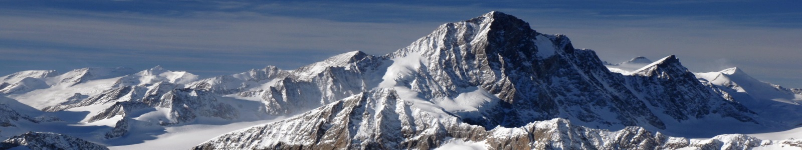
SKAFTAFELL WATERFALL, ICELAND This video shows our walk to the waterfall and a couple of other waterfalls flowing down the hillside, as we walked back to the bottom. The country side here was great and worth the steep walk up to view the falls. Skaftafell National Park was a national park, situated between Kirkjubæjarklaustur, typically referred to as Klaustur, and Höfn in the south of Iceland. On 7 June 2008, it became a part of the larger Vatnajökull National Park. It was founded on September 15, 1967, and enlarged twice afterwards. Before its inclusion into Vatnajökull National Park, it measured about 4807 km2 (2884 mi²), making it Iceland's second largest national park. It is home to the valley Morsárdalur, the mountain Kristínartindar and the glacier Skaftafellsjökull (a spur of the Vatnajökull ice cap). The landscape is very similar to some of the Alps, but it has been formed in thousands of years by different influences of fire (volcanic eruptions of Öræfajökull) and water (the glaciers Skeiðarájökull and Skaftafellsjökull), the rivers Skeiðará, Morsá und Skaftafellsá. Volcanic eruptions under the ice-cap can give rise to jökulhlaups (glacial floods) which swell the Skeiðará river massively. The sandy wasteland between the glacier and the sea caused by jökulhlaups is called Skeiðarársandur, and is a typical Sandur. The last large jökulhlaup occurred in 1996. Svartifoss waterfall is one of Skaftafell's best known attractions, mainly for the basalt column walls that flank it. Skaftafell is renowned in Iceland for its agreeable climate and the sunny days in summer, uncommon in the south of Iceland. There is a natural birch wood, Bæjarstaðarskógur, as well as many species of birds and arctic foxes. The waterfall Svartifoss (Black Fall) flows over a step of about 20 metres. Its name comes from the black basalt columns behind it.
0m 0sLenght