Route des Grandes Alpes - Gorges du Verdon, France
Mountain | reviews | videos | photos
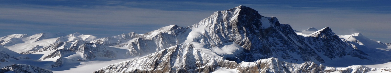
Parts of Route des Grandes Alpes to Gorges du Verdon on Ducati Multistrada 1200S Pikes Peak. Map: https://goo.gl/F3jB2O Facebook: https://www.facebook.com/996bip 0:08 Citadelle d'Entrevaux 7:20 On top of Route de la Vésubie 9:10 Le Var 13:10 Letting the locals pass 13:40 Gorges du Verdon Bike: 2013 Ducati Multistrada 1200S Pikes Peak http://amzn.to/1TVZbDz Tyres: Michelin Pilot Road 4 GT http://amzn.to/1qofQp5 Camera: Garmin Virb Elite http://amzn.to/1NvNg0m GPS: Garmin Zumo 350 http://amzn.to/1XfJI45 Riding Gear: Rukka Armaxion http://amzn.to/1V6nvVM Riding boots: TCX X-Five EVO Gore-Tex http://amzn.to/1TVYWZd Gloves: Alpinestars SP http://amzn.to/1VYM346 Helmet: Shoei XR1100 http://amzn.to/1TVYQkg Bluetooth: Scala Rider G9 http://amzn.to/1TW0aUq Tankbag: Givi 3D603 http://amzn.to/1TW0vqb The Route des Grandes Alpes is a tourist itinerary through the French Alps between Lake Geneva and the French Riviera passing over all the high passes of the Alps within France. The road starts at Thonon-les-Bains and climbs via Les Gets and Cluses. It then heads to Saint-Gervais and Megève, over the Col des Saisies (1,633 m (5,358 ft)). It then passes through Beaufort, Bourg-Saint-Maurice and onto Val-d'Isère. The road then crosses the Col de l'Iseran (2,770 m (9,090 ft)). The road then passes through Modane and over the Col du Galibier (2,642 m (8,668 ft)) and then the Col du Lautaret to La Grave. The road heads to Briançon and then over the Col d'Izoard (2,361 m (7,746 ft)). The road then heads through Embrun and over the Col de Vars (2,111 m (6,926 ft)) and onto Barcelonnette via Jausiers, where the choice can be made to turn south over the Col de la Bonette (2,802 m (9,193 ft))—with access to the highest paved through road in Europe, the Cime de la Bonette—or continue via the Col de la Cayolle (2,327 m (7,635 ft)). The original end of the Route was Nice but is now Menton, reached via the cols of Sainte-Martin (1,500 m (4,900 ft)), Turini (1,607 m (5,272 ft)) and Castillon (707 m (2,320 ft)). https://en.wikipedia.org/wiki/Route_des_Grandes_Alpes The Gorges Du Verdon (in French: Les Gorges du Verdon or Grand canyon du Verdon), in south-eastern France (Alpes-de-Haute-Provence), is a river canyon that is often considered to be one of Europe's most beautiful. It is about 25 kilometres long and up to 700 metres deep. It was formed by the Verdon River, which is named for its startling turquoise-green colour, one of the location's distinguishing characteristics. The most impressive part lies between the towns of Castellane and Moustiers-Sainte-Marie, where the river has cut a ravine to a depth of 700 metres through the limestone mass. At the end of the canyon, the Verdon River flows into the artificial lake of Sainte-Croix-du-Verdon (in French: Lac de Sainte-Croix). Because of its proximity to the French Riviera, the gorge is very popular with tourists, who can drive around its rim, rent kayaks to travel on the river, or hike. The limestone walls, which are several hundreds of metres high, attract many rock climbers. It is considered an outstanding destination for multi-pitch climbing. The variety of 1,500 routes encompass cracks, pillars and seemingly endless walls, and range in distance from 20m to over 400m. The climbing is generally of a technical nature. https://en.wikipedia.org/wiki/Verdon_Gorge Music: Myuu - On The Chain https://soundcloud.com/myuu/on-the-chain Adam Are You Free? by P C III 2015 Creative Commons https://soundcloud.com/pipe-choir-2/adam-are-you-free/s-IU7Ur
14m 45sLenght