OpenStreetMap Mapping Party on the Via Alpina
Mountain | reviews | videos | photos
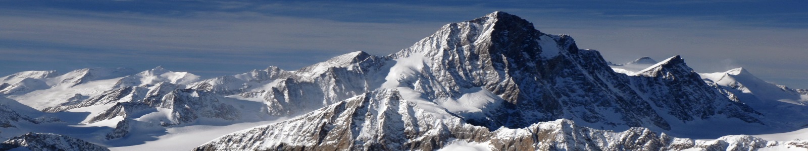
(Around the Alps in 80 days) This is the trailer of a project to map a long distance Alpine path (part of the Via Alpina) during the Summer 2012, in about 80 days! Data will be contributed to OpenStreetMap.org Do not miss the results as a documentary film (15 mn)! See here: https://www.youtube.com/watch?v=JfpbW9Q0W4U Links: http://www.outdoormaps.org (official blog) http://wiki.openstreetmap.org/wiki/ViaAlpina http://www.via-alpina.org
Comments
-
Somehow, there were several problems and it was quite adventurous (a 15 mn film is in preparation), but we gathered A LOT of field data, cf. the link to youtube video "Thousands geotagged pictures on the Via Alpina for OSM mapping"
-
Lovely... and... have you been successful?
-
Yes, trekking with GPS, camera and a few other devices. More info at the weblinks above.
-
It's so interesting and nice! How will you map that Alpine path? trekking with GPS? mountainbike? Have you a site or blog of the project?
2m 44sLenght