Camper van on the Magdalensberg mountain, Austria : Sicily to Ukraine by camper van 57
Mountain | reviews | videos | photos
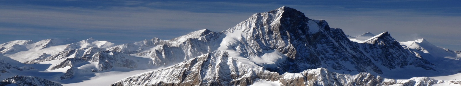
SEE MY MOTORHOME GROUP ON FACEBOOK : https://www.facebook.com/motorhomefulltime I stop at a spot on the Austrian B69 which is a favourite spot for bikers to admire the wonderful views of the Karawanken mountain range in Austria and Slovenia before continuing up the mountain. The GPS co-ordinates I have given on the map on you tube are correct. The Karawanks also called Karavankas, Karavanks or Karawanken (I tend to use the German form) are a mountain range of the Southern Limestone Alps on the border between Slovenia to the south and Austria to the north. With a total length of 120 kilometres in an east-west direction, the Karawanks chain is one of the longest ranges in Europe. The Karawanks form the continuation of the Carnic Alps east of the Slizza stream near the tripoint of Austria, Slovenia and Italy at Arnoldstein. They are confined by the Drava Valley in the north (called Rosental/Rož) and the Sava in the south, separating it from the adjacent Julian Alps. In the east, they border on the Kamnik--Savinja Alps and Pohorje ranges. The Karawanks are a popular mountaineering area with numerous mountain huts. Many of the peaks offer a good view of the Klagenfurt basin on the Austrian side and the Ljubljana basin on the Slovene side. The northern Austrian side is rocky and precipitous while the Slovenian side is less steep, covered with spruce forests and low bushy pine at lower altitudes with grass higher up. The Karawanks were settled already in the Stone Age. In Roman times, they represented the southern border of the Noricum province, and later, of the Slavic principality of Carantania. The ancient geographer Claudius Ptolemy mentioned the Karwankas mountains about 150 AD. The name probably is derived from Celtic karv ("deer"), a tradition that has survived in the Košuta (Slovene for "hind") massif. From the first half of the 11th century, the Karawanks formed the border between the territory of the Duchy of Carinthia and the adjacent March of Carniola in the south. After Carniola had been elevated to a duchy in 1364, both lands became part of Inner Austria and were crown lands of the Habsburg Monarchy from 1526 up to World War I. The northern slopes of the Karawanks were a historic settlement area of Carinthian Slovenes, nevertheless in October 1920, the crest was decided with the Carinthian Plebiscite as the border between the Kingdom of Serbs, Croats and Slovenes (later Yugoslavia); only the municipality of Jezersko had already passed from Carinthia to Yugoslavia. After World War II the Karawanks became the border between Austria and the Socialist Federal Republic of Yugoslavia and finally the independent Slovenia from 1991. Since the entry of Slovenia to the Schengen Area in 2007, a free movement of people and goods across the Karawanks has been allowed and the two countries started to aim for an economic integration of their border areas.
1m 26sLenght